Wysilab has released the next version Instant Terra.
High-resolution color maps
Color maps: The size limitation on color maps has been lifted. Color maps of unlimited size are supported with no compromise on performance.
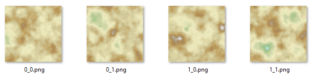
Multi file export color map: This node exports a color map as several files.
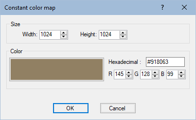
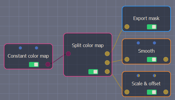
Constant color map: Creates a uniform color map that can be blended to create more complex colored patterns.
Split color map: Splits the red, green, and blue channels of an input color mask and outputs a mask from each of these channels.
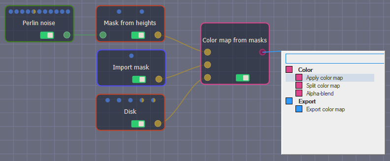
Color map from masks: Uses three masks to construct the red, green, and blue channels of the output color map.
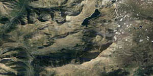
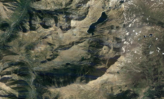
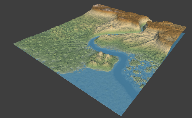
Display the water level: Display the water level and adjust it to achieve an effect on a terrain under different conditions.
Fast-creation menu: The Fast-creation menu lists the nodes compatible with the selected output connector.

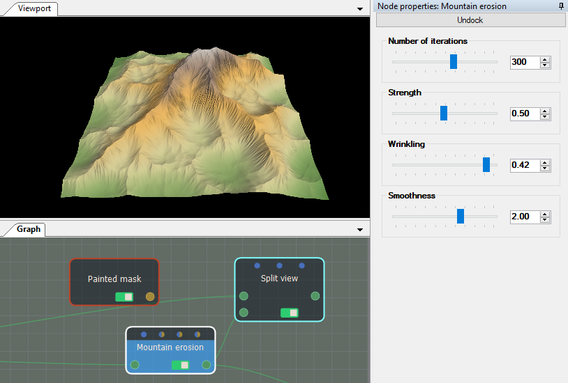
Properties window: Dock and undock the selected node’s Properties window.
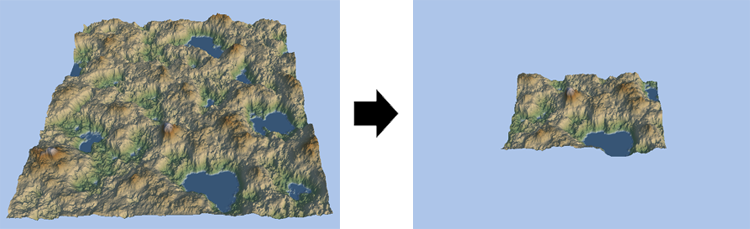
Crop terrain: The Crop terrain node retrieves an input terrain and crops it in order to output only a part of the terrain.
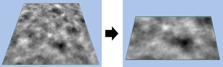
Crop mask: The Crop mask node retrieves an input mask and crops it in order to output only a part of the terrain.
Multi file export normal map: This node export a normal map as several files.

Export Alembic meshes: Export meshes in the Alembic (*.abc) file format.
UVs: UVs are provided for meshes.
Raw import format: When importing a terrain or a mask, it can be imported as raw binary data.