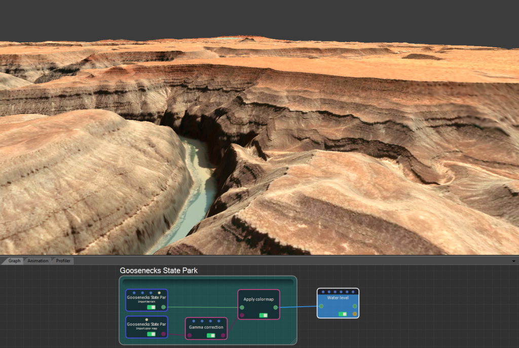
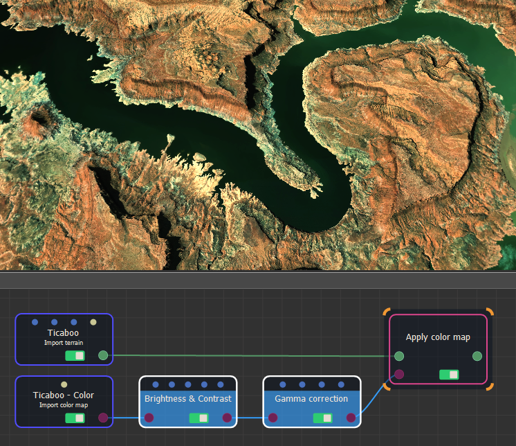
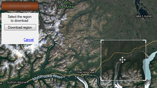
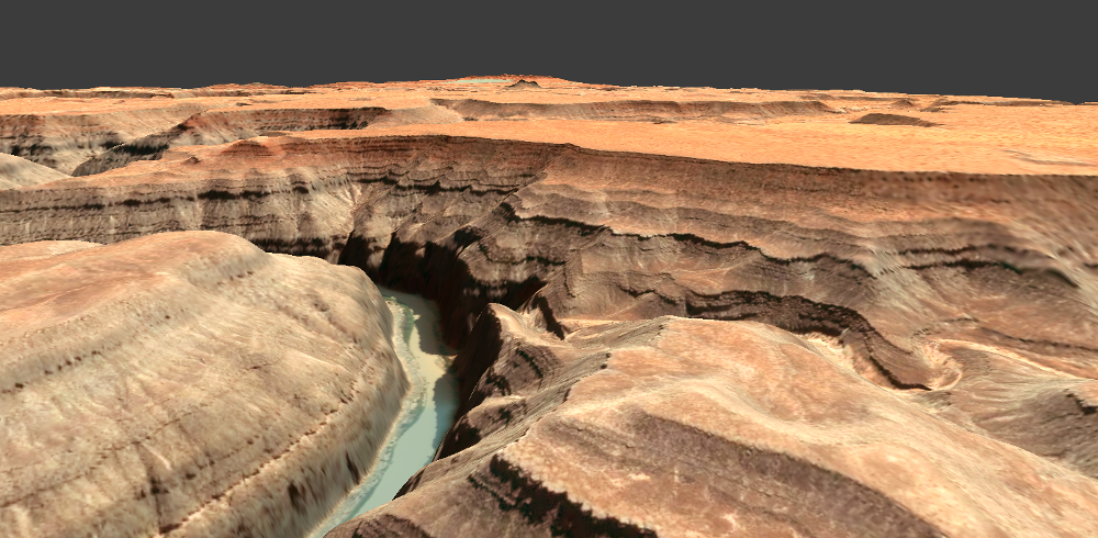
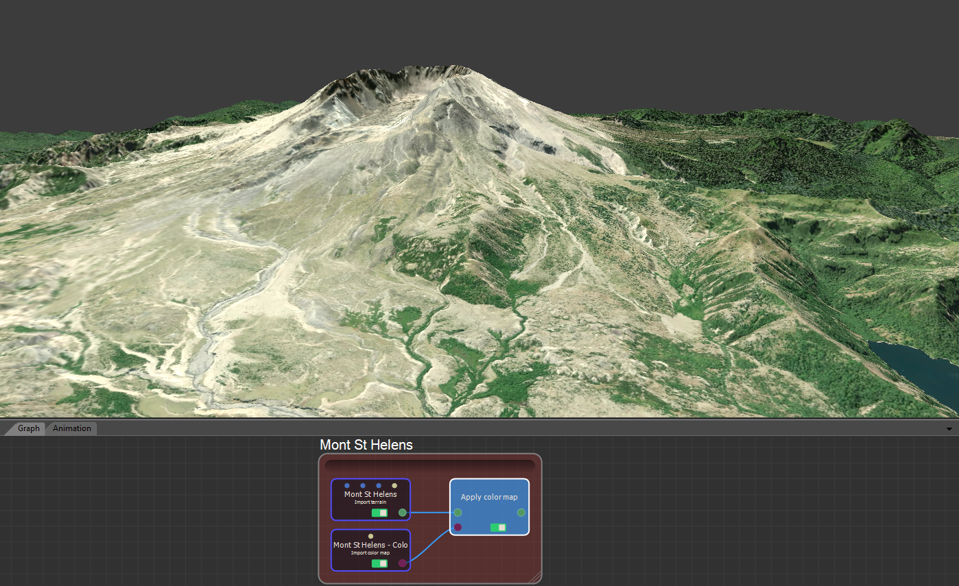
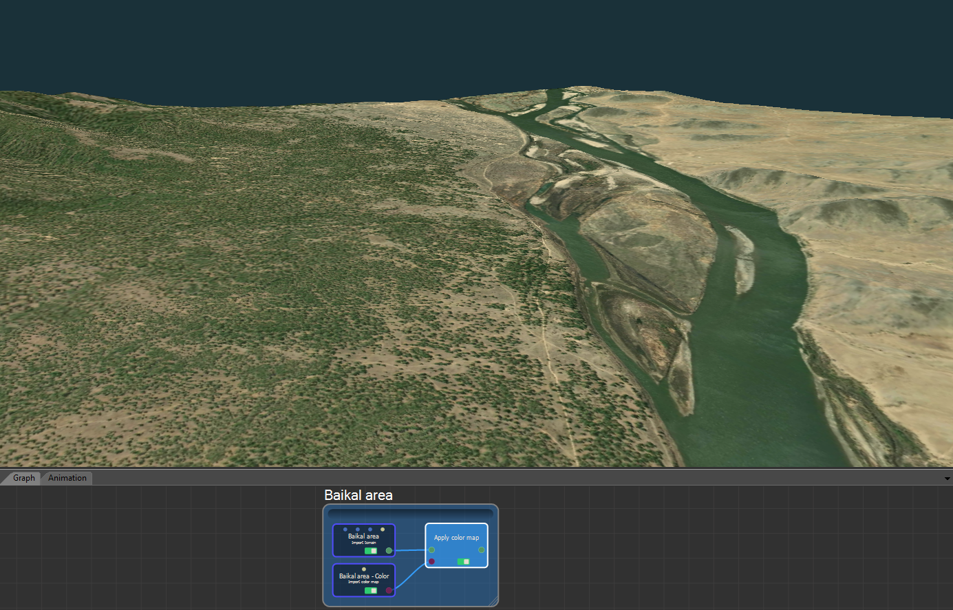
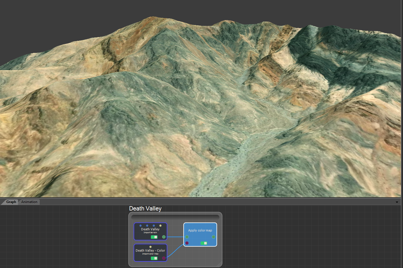
May 6, 2021 Wysilab's blog Instant Terra releases INSTANT TERRA V2.2 Studios: Ask for your full-feature trial license World browserNow with satellite images! With Instant Terra 2.2, download the satellite images with heightmaps in one click for stunning results! Read more about the World browser… Also in Instant Terra 2.2… New nodes to tune color maps The new Brightness & Contrast and Gamma correction nodes let you fine-tune the colors of your color maps. Improved region selection in the World browser Move and rescale a selection easily before downloading it. Technical corner ARC/INFO ASCII GRID files (*.asc) are now supported for import & export. Releases history 5 3dcgigisindiedevindiegamesInstant Terralandscapemapboxproceduralsatellite dataterrainterrain generatorvfxwysilab

5 comments