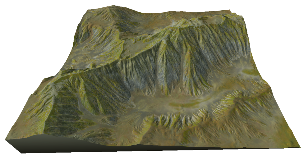
Instant Terra now has three new erosion nodes giving a wider range of results, Thermal erosion, Multi-scale erosion, and Mountain aging, in addition to the existing erosion algorithms. Use them alone, or better, combine them for varied and different realistic results.
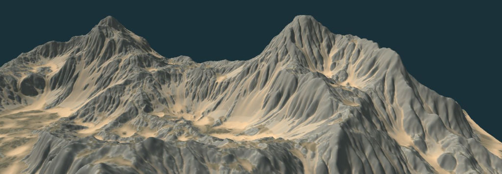
Thermal erosion is a new algorithm that enlarges river banks. It is similar to hydraulic erosion, but provides wider results.
Multi-scale erosion
The erosion simulation is applied at various scales and erodes the terrain more deeply than simple hydraulic or thermal erosion.
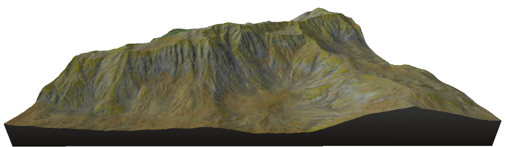
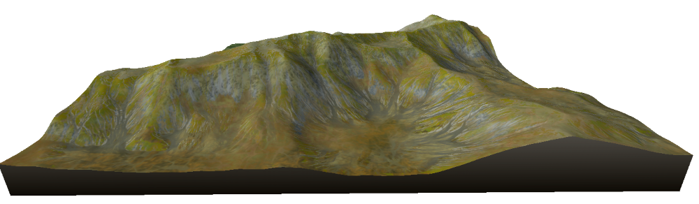
Mountain aging
This erosion simulates the aging of topography over a very long period of time.
Before and after a mountain aging effect
Unlike most erosion simulations, Instant Terra’s advanced algorithms generate erosion that doesn’t follow the world axes, providing results with more realism and diversity.
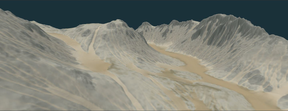
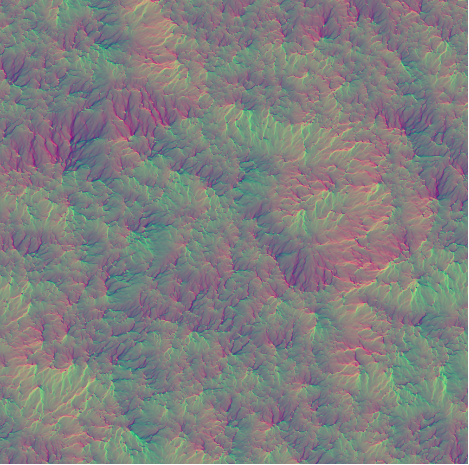
In addition to the new erosion algorithms, the new 2D flow map node, which is based on flow simulation, provides a vector map of the direction of the water flow.
Also in Instant Terra 2.3…
Export of Tiff and Asc files: geographic information is saved
If the terrain was imported from a Tiff or Asc file containing geographic data, such as longitude and latitude coordinates, this information is saved and written to the exported Tiff / Asc file.

4 comments