World Browser available!

Download any region from the world
directly into Instant Terra

A World Browser is now available in Instant Terra. It connects to the Open Topography database and lets you import a selected region directly into Instant Terra in two clicks!

Watch the demo: from Google Maps to Instant Terra, with a final result in Clarisse.

Your imported regions colorized in one shot!

Use the new Colorize Satellite data node to get a quick, colorized render of your imported region.
This node can detect the sea areas as well as lake positions for an immediate result.

What's coming next on satellite data?

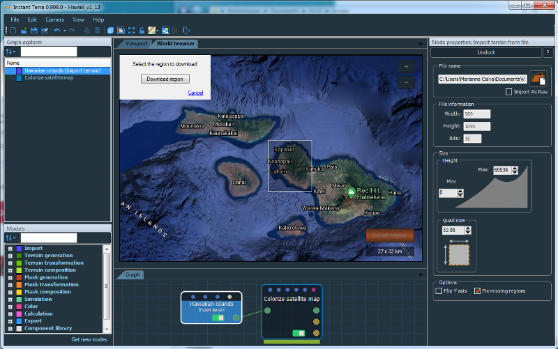
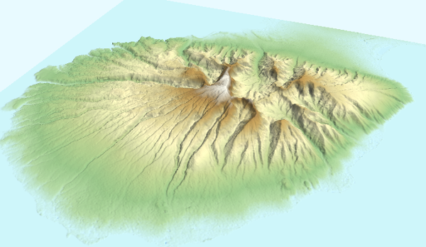
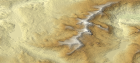
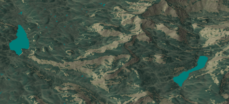
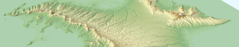
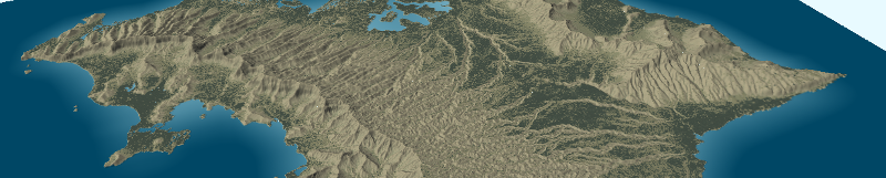
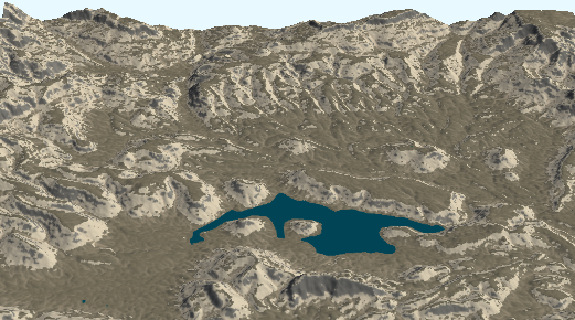
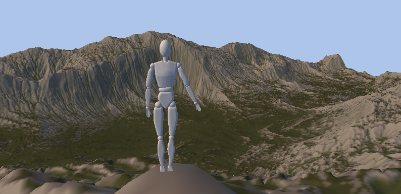
We have several projects in our road map on satellite data in Instant Terra.
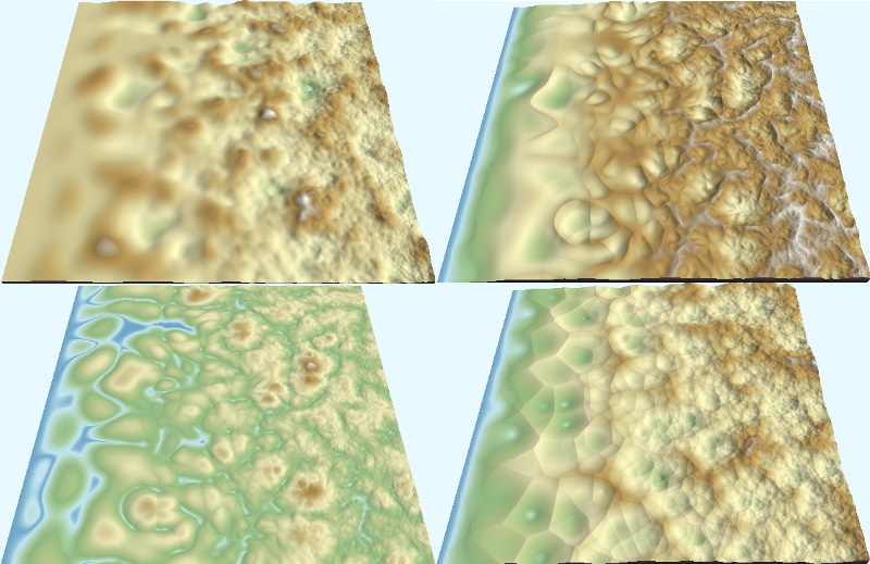
Firstly, we’ll soon provide a simple way to automatically refine the terrains and transform low-resolution terrains to high-resolution terrains.
Stay tuned and be ready for the next steps!

In Instant Terra Pro v1.13, you'll find also...

Mask for Levels of detail in the noise generators

An optional mask is now available in the Perlin, Ridged, Billowy and Cellular noise generators to provide a heterogeneous result from one node.

Isoline color ramp

A new color ramp is now available and shows isolines on your terrains.

Mask to Color map

Generate a color map from a mask and a color ramp. An easy way to apply detailed textures to your terrains.

Mannequin

You can now place a mannequin on your terrain. This is a great way to get a better understanding of the terrain scale.

Technical corner (Instant Terra PRO only)

More Python callback hooks

Two Python callback hooks for painted masks have been added to handle Delete events.

The complete list can be found here.